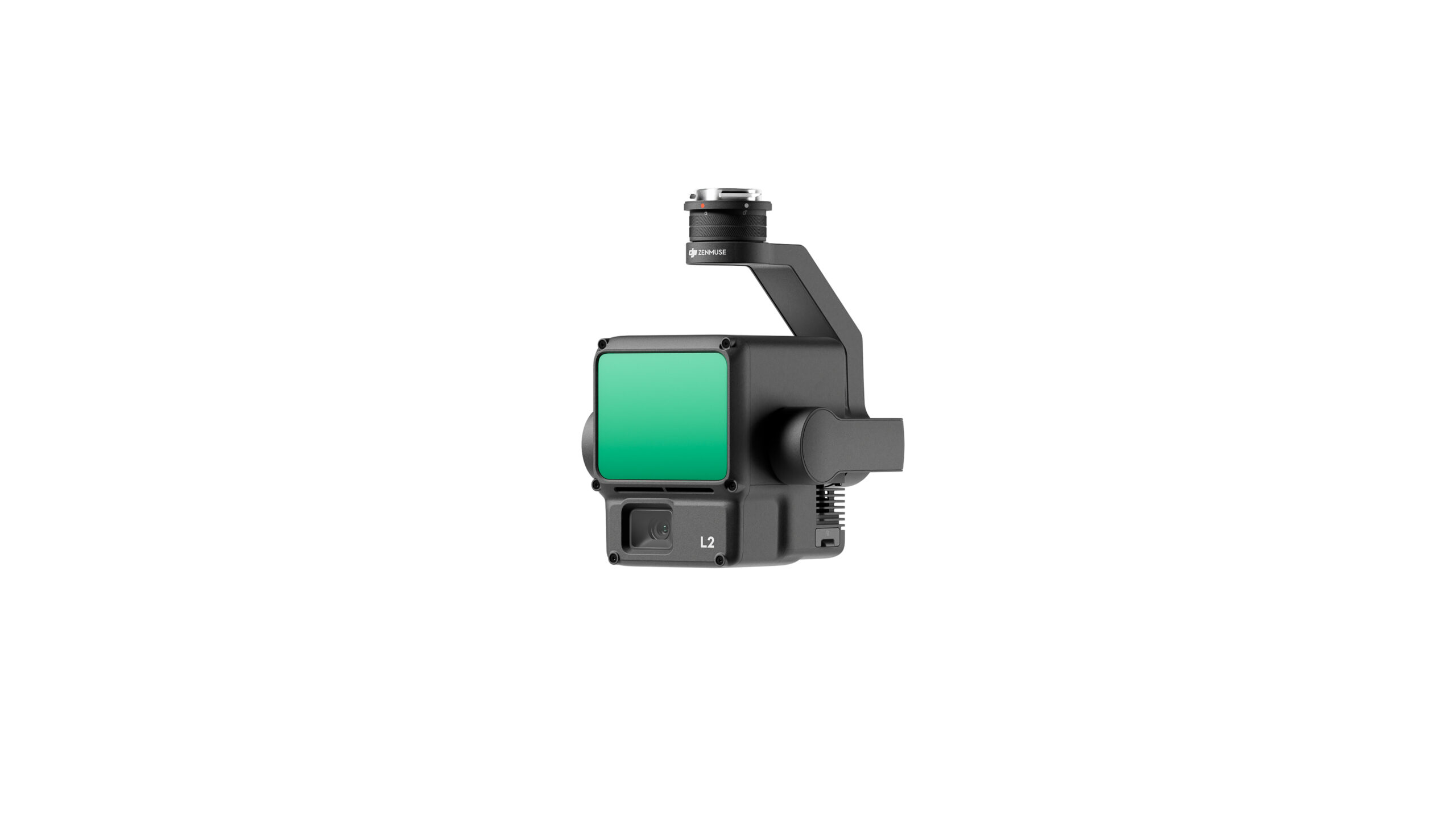
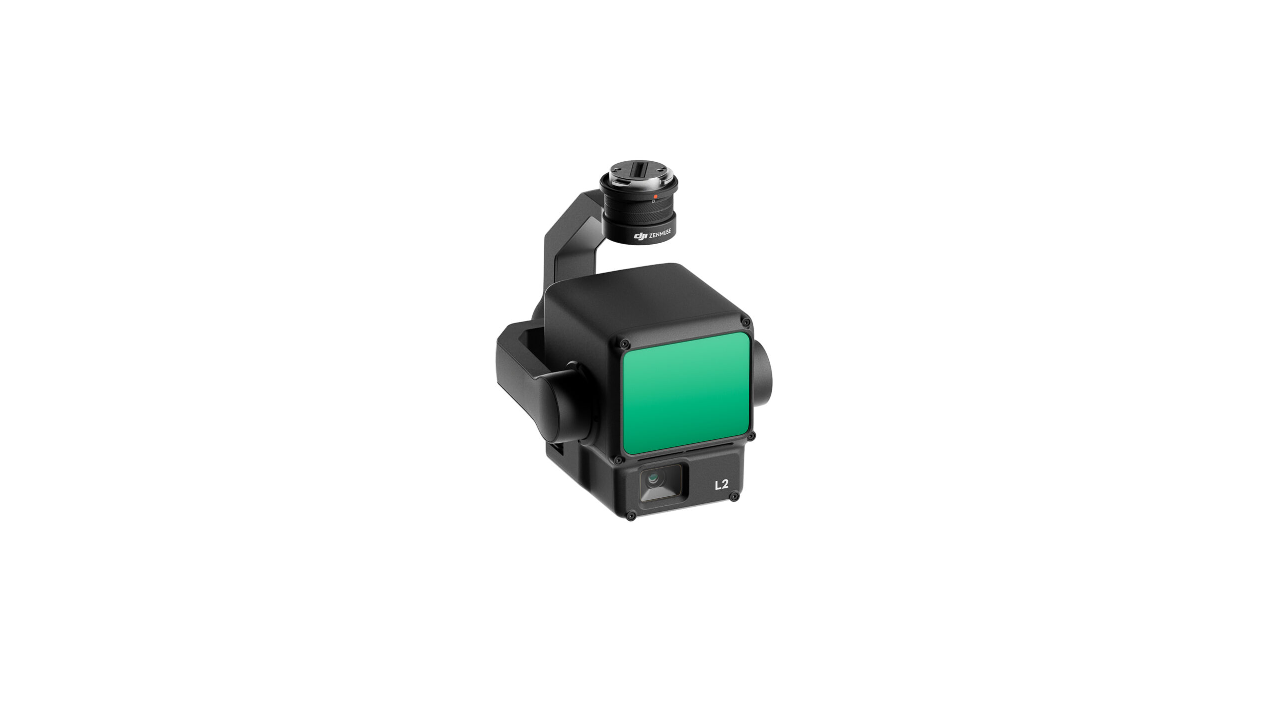
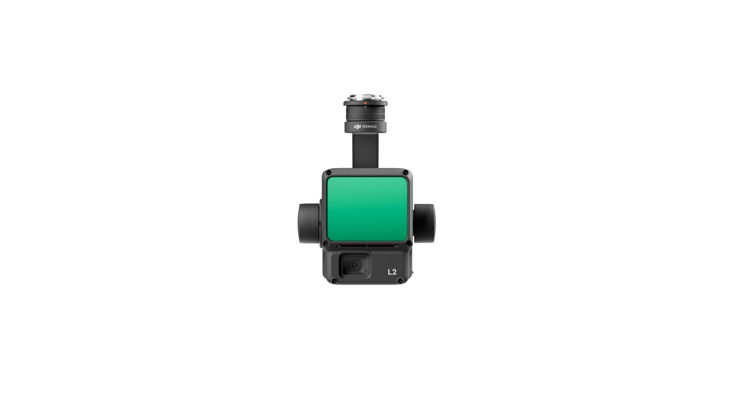
Zenmuse L2
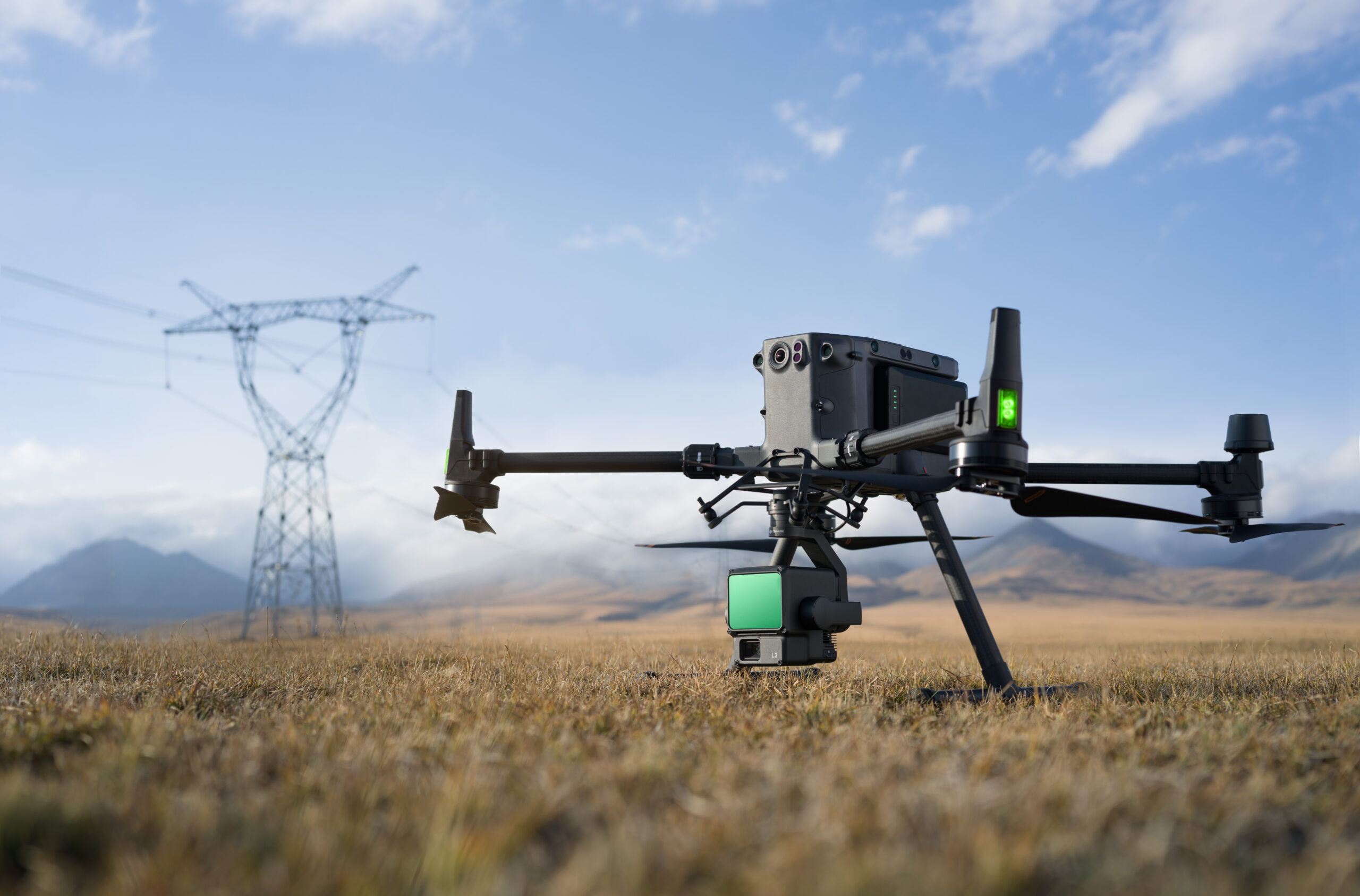
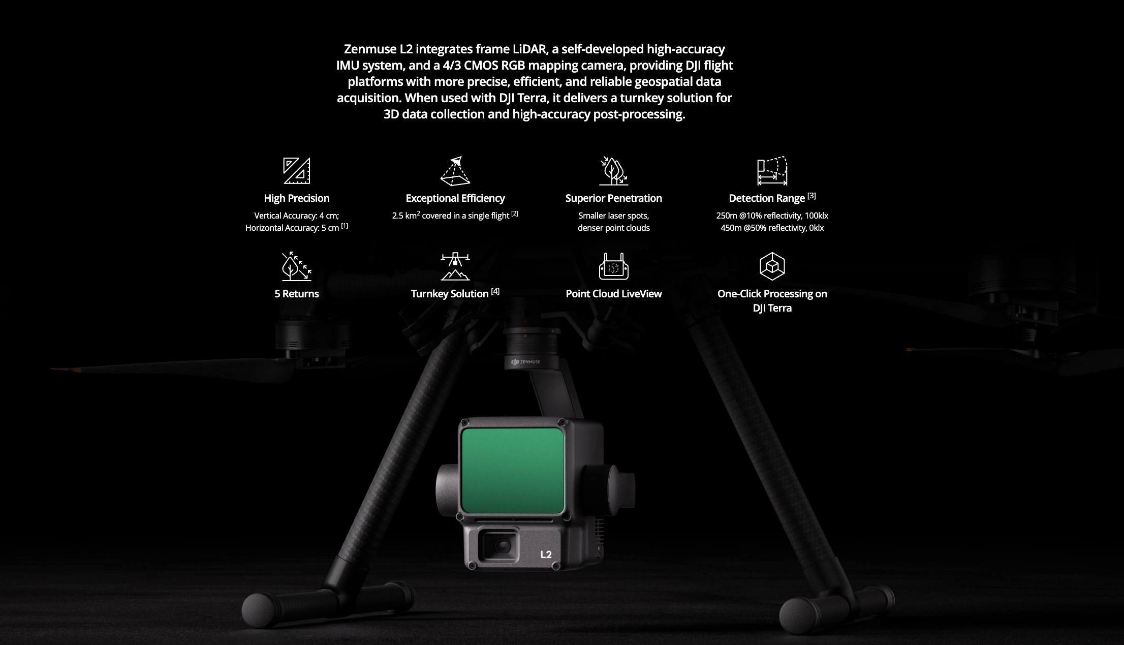
The Zenmuse L2’s ability to combine LiDAR, a high-precision IMU system, and a 4/3 CMOS RGB mapping camera provides DJI flight platforms with a powerful tool for collecting geospatial data. Furthermore, when integrated with DJI Terra software, the L2 becomes a truly powerful tool for 3D data collection and post-processing. This capability can be indispensable in construction, engineering, or landscape planning projects where accurate geospatial data is essential.
Out of stock
€14,280
-
The buyer has the right to return or exchange the goods within 14 days.
-
Fast delivery for items in stock.
-
DJI Care additional warranty available for DJI products.
Transport
You can choose the delivery method in the shopping cart.
-
Parcel machine
1-3 working days
-
Courier
1-3 working days
-
Description
Description
-
Query
