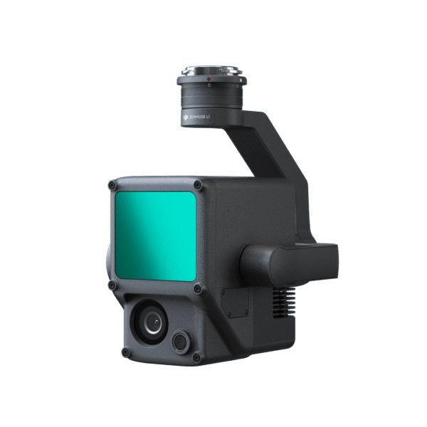
DJI Zenmuse L1 – Advanced LiDAR solution for aerial mapping and 3D modelling
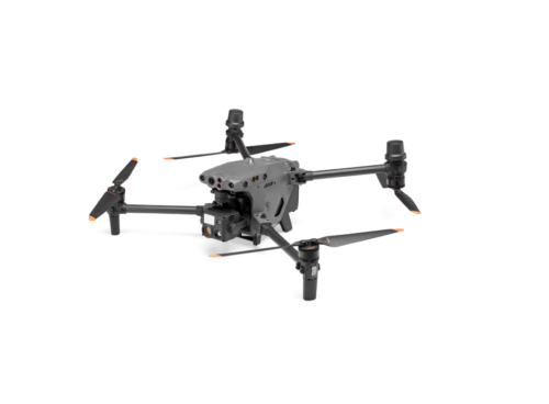
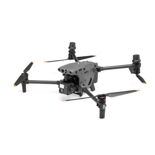
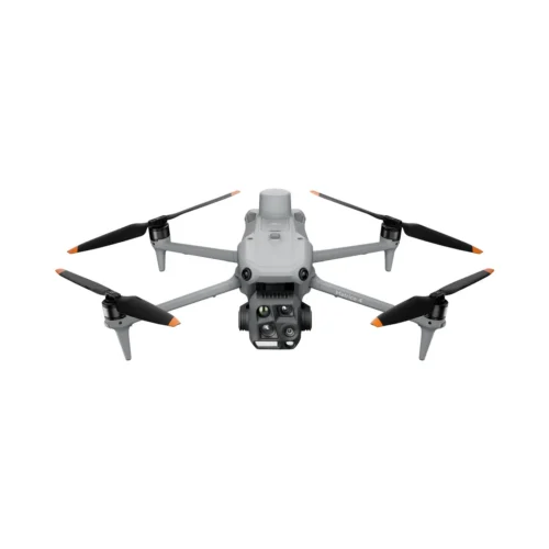
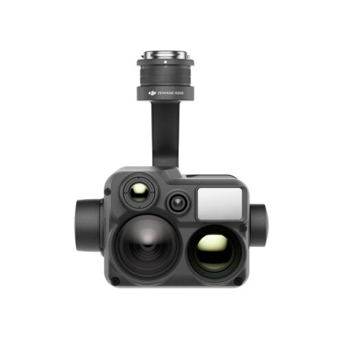
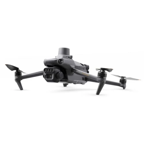
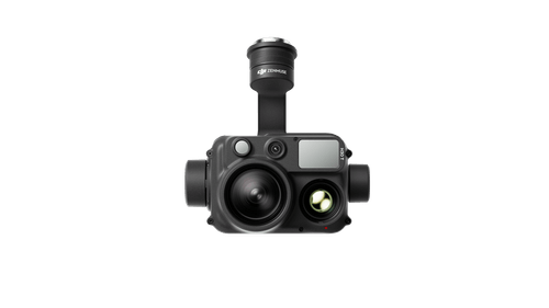
The DJI Zenmuse L1 is a state-of-the-art integrated LiDAR sensor designed for professional airborne data collection and accurate modelling of 3D environments. It combines a Livox LiDAR module, a high-precision IMU inertial measurement system and a 20-megapixel RGB camera into a compact, stable and easy-to-use solution for use with DJI Matrice 300 RTK drone platform.
Watch the product video here.
High-level LiDAR scanning and 3D point clouds
The DJI Zenmus L1 is capable of capturing very high density point clouds (up to 240,000 points per second in a single return and up to 480,000 points in multiple returns), meaning it can deliver a rich and detailed three-dimensional landscape representation in a short flight. It has a maximum detection range of up to 450 metres with good reflectivity, allowing large areas to be covered efficiently and quickly.
The DJI Zenmus L1 supports multiple scanning modes, including non-repetitive and repetitive scan patterns, which ensure comprehensive mapping of surfaces depending on the mission objective. This enables optimized data acquisition for both terrain and complex structures.
Accurate measurement and data quality
Accuracy is critical in the geodesy and mapping industry and the DJI Zenmus L1 is very capable in this regard. The system’s horizontal positioning accuracy can be as high as ±10 cm and vertical accuracy up to ±5 cm measured at 50 m altitude. This level of accuracy is achieved thanks to the precision of the IMU system, the additional processing of GNSS signals and the combination of orientation data collected at any given moment.
In addition, the L1 allows real-time visualisation of a colour point cloud using an RGB camera or the reflectivity, altitude or distance of the points, helping the user to assess the quality of the data and to plan the next step immediately after the flight is aborted.
RGB camera and visual information
In addition to the LiDAR sensor, the DJI Zenmus L1 also includes a 20 MP RGB camera with a 1-inch high sensitivity sensor and a mechanical shutter system. This allows you to add true colour information to each point cloud and record high quality aerial images and video that can be used for analysis and reporting.
This combination of LiDAR data and visual RGB information allows the creation of high resolution 3D colour models that are valuable for mapping and infrastructure analysis.
Strength, reliability and wide applicability
The DJI Zenmus L1 is built to operate in a variety of weather conditions – it can withstand dust and water droplets with an IP54 rating, allowing it to be used in light rain or foggy conditions outdoors.
This combination of mobility and weatherproofing makes the L1 an ideal tool for topographic surveying, forestry inventory, agricultural analysis, construction and infrastructure inspection, modelling of pipelines and power lines, and planning emergency response operations.
Workflow and software support
Data collection and processing is best achieved using the DJI Pilot app and DJI Terra software. DJI Pilot allows you to plan a flight batch and view point clouds in real time, while DJI Terra offers powerful processing and visualisation capabilities to export data in standard formats such as LAS, PLY or PCD – which are compatible with many geodetic and CAD tools.