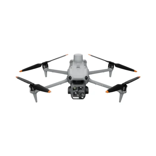
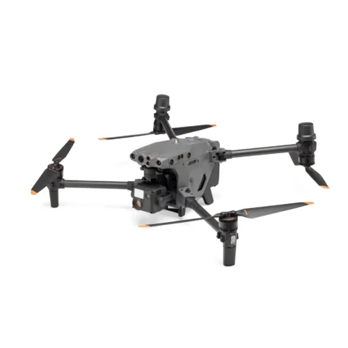
DJI Matrice 4 Enterprise – Compact Professional Drone for Surveying, Inspection and Public Safety
Intelligent Aerial Solutions for Professional Operations
DJI Matrice 4 Enterprise is a next-generation compact enterprise drone designed to deliver outstanding performance for surveying, mapping, infrastructure inspection, public safety, construction, utilities, and industrial asset management. Combining a powerful multi-camera imaging system, AI-assisted object recognition, intelligent flight automation, and high-precision positioning, DJI Matrice 4 Enterprise enables professionals to collect accurate aerial data quickly and efficiently.
Its lightweight, portable design allows rapid deployment in the field without compromising the advanced capabilities expected from DJI Enterprise platforms. Whether inspecting critical infrastructure, documenting construction progress, performing emergency response missions, or generating high-accuracy maps, DJI Matrice 4 Enterprise provides the speed, reliability, and precision required for professional operations.
Advanced Multi-Camera Imaging System
DJI Matrice 4 Enterprise features an integrated multi-camera payload that combines wide-angle imaging, medium telephoto, and telephoto cameras into a single intelligent platform. This flexible camera system enables operators to capture broad overviews while also inspecting fine structural details from a safe distance.
High-resolution imaging produces exceptionally detailed photographs suitable for engineering documentation, asset management, inspection reports, and mapping applications. The ability to switch instantly between multiple focal lengths significantly improves operational efficiency by reducing the need to reposition the aircraft.
Professional image processing ensures excellent colour accuracy, dynamic range, and sharpness, even when operating in challenging lighting conditions.
Precision Surveying and Mapping
Designed with geospatial professionals in mind, DJI Matrice 4 Enterprise supports highly accurate mapping and surveying workflows. High-quality image capture combined with advanced positioning technology allows users to generate precise orthomosaics, digital elevation models, and three-dimensional reconstructions suitable for engineering, land surveying, mining, construction, agriculture, and environmental monitoring.
Support for intelligent mapping missions and automated flight routes enables consistent data collection while reducing operator workload and improving overall productivity.
AI-Assisted Detection and Intelligent Automation
DJI Matrice 4 Enterprise incorporates advanced artificial intelligence capabilities that help identify people, vehicles, and other mission-critical objects automatically during flight. These intelligent detection functions improve situational awareness during inspections, search operations, and security missions while allowing operators to focus on mission objectives rather than manual observation.
Automated waypoint flights, repeatable inspection routes, intelligent tracking, and obstacle-aware navigation further streamline complex operations. Repeatable missions allow organizations to perform consistent inspections over time, making it easier to identify structural changes or equipment degradation.
Reliable Performance for Professional Field Work
DJI Matrice 4 Enterprise is engineered to deliver dependable performance across a wide range of industries and environments. Its compact airframe makes transportation simple while providing excellent flight stability and endurance for demanding daily operations.
Advanced obstacle sensing technologies continuously monitor the surrounding environment, helping pilots safely navigate around buildings, towers, bridges, and other complex structures. Precision hovering and intelligent flight control ensure stable image capture even during detailed inspections.
Long flight times allow operators to cover larger areas with fewer battery changes, increasing operational efficiency during extended missions.
Secure Enterprise Workflow Integration
DJI Matrice 4 Enterprise integrates seamlessly with DJI’s professional software ecosystem, including DJI Pilot 2, DJI FlightHub 2, and DJI Terra. These platforms enable efficient mission planning, remote fleet management, automated inspections, cloud collaboration, and professional data processing.
Real-time video transmission provides clear, low-latency imagery for ground teams, allowing faster operational decisions and improved coordination during field operations.
Versatile Applications Across Industries
DJI Matrice 4 Enterprise is designed to support a broad range of professional applications. Surveyors can efficiently collect accurate aerial data for topographic mapping and land development projects. Infrastructure inspectors can safely examine bridges, telecommunications towers, power transmission lines, railways, and industrial facilities from a secure distance. Construction professionals can monitor project progress and verify site conditions, while public safety agencies can rapidly assess emergency situations and improve situational awareness during critical incidents.
Its intelligent automation and flexible imaging system also make DJI Matrice 4 Enterprise an excellent solution for environmental monitoring, precision agriculture, mining, and asset management.
Technical Overview
DJI Matrice 4 Enterprise combines multiple high-resolution optical cameras with AI-assisted object recognition, advanced autonomous flight modes, intelligent obstacle sensing, precision positioning technology, long-range digital video transmission, and seamless integration with DJI Enterprise software. The aircraft supports automated mapping missions, repeatable inspection workflows, professional aerial photography, and detailed infrastructure documentation, all within a lightweight and highly portable platform.
Why Choose DJI Matrice 4 Enterprise?
DJI Matrice 4 Enterprise delivers professional aerial intelligence in a compact, efficient, and highly capable drone platform. By combining advanced multi-camera imaging, intelligent automation, precise positioning, and enterprise-grade software integration, DJI Matrice 4 Enterprise helps organizations perform inspections, mapping, surveying, public safety missions, and industrial operations faster, more safely, and with greater accuracy than ever before.
See product video here.
See our industrial drones selection here.

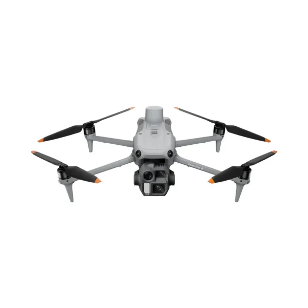
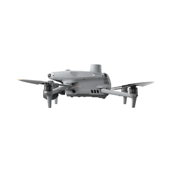
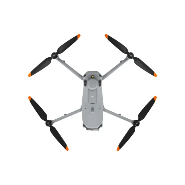
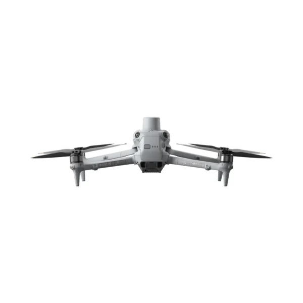
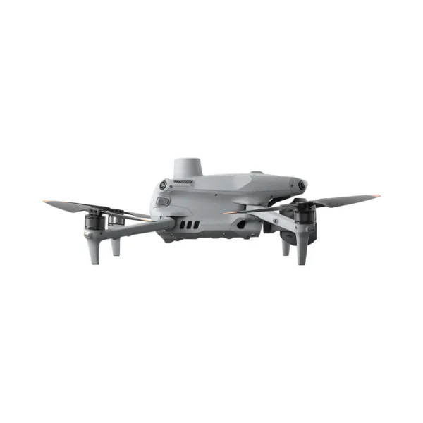
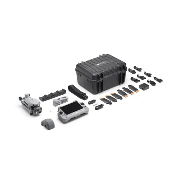

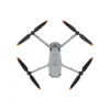
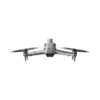
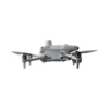
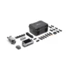
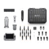
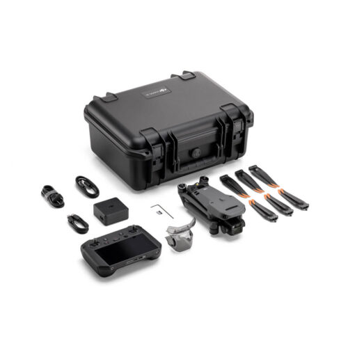
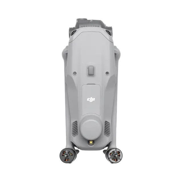 DJI Matrice 4E
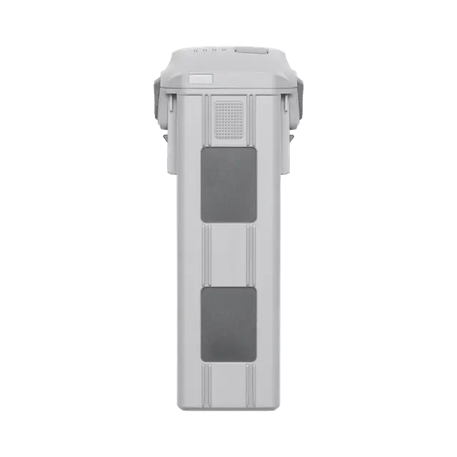 DJI Matrice 4 Series Battery
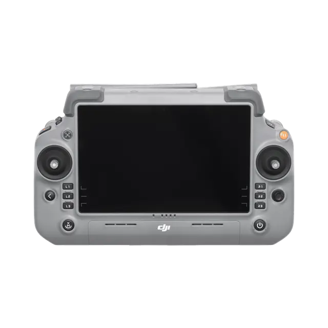 DJI RC Plus 2 Enterprise
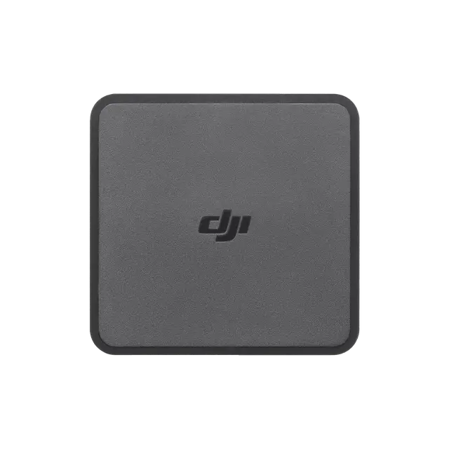 DJI 100W USB-C Power Adapter
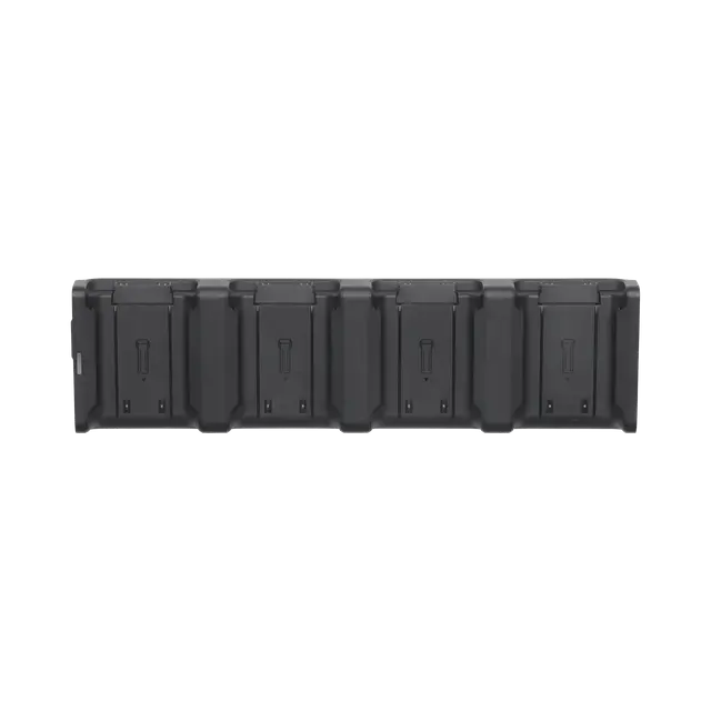 DJI Matrice 4 Series Charging Hub
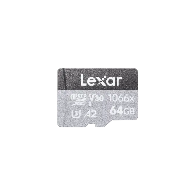 microSD Card
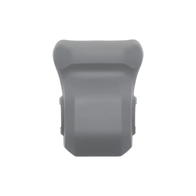 DJI Matrice 4E Gimbal Protector
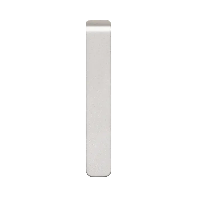 DJI Cellular Dongle 2 Pry Bar
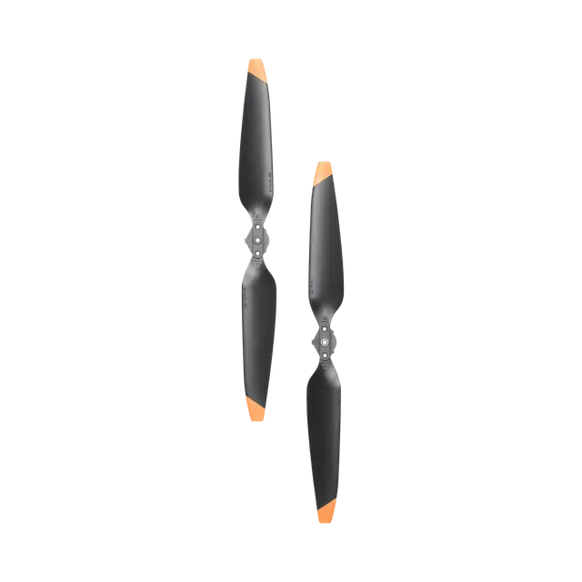 3x DJI Matrice 4 Series Propellers
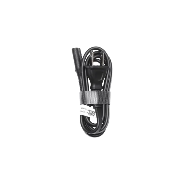 100W Power Adaptor AC Cable
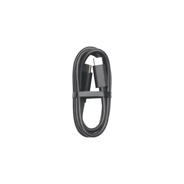 2x USB-C to USB-C Data Cable
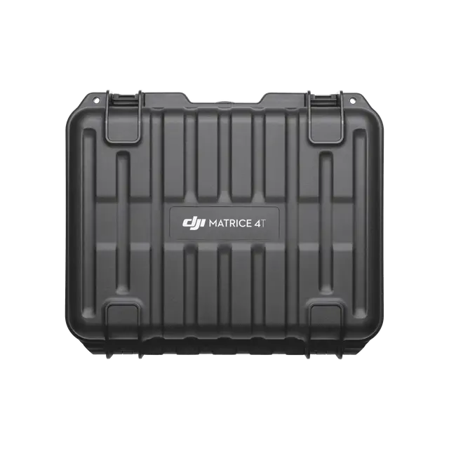 DJI Matrice 4 Series Storage Case
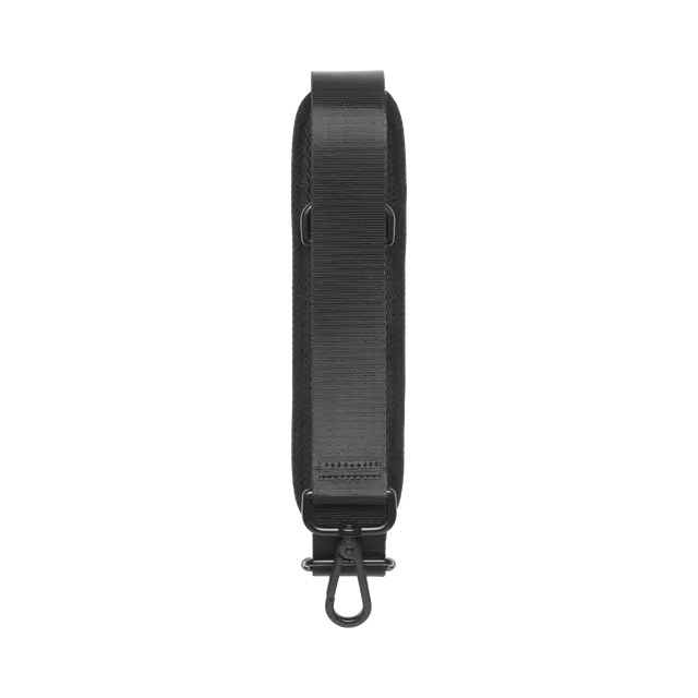 DJI Matrice 4 Series Storage Case Shoulder Strap
 Parcel locker: 1–3 business days
 Parcel locker: 1–3 business days