DJI Mavic 3 Multispectral
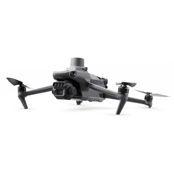
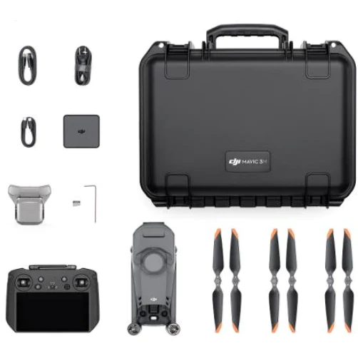
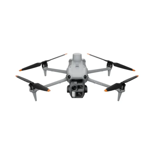
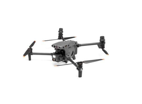
is a professional drone solution designed for precision agriculture, forestry and environmental monitoring. This model combines an advanced flight platform and sensors specifically designed for analytical work in a compact and easily transportable housing, allowing the collection of accurate, measurable and repeatable data over large areas. The DJI Mavic 3 Multispectral is not just for imaging, but first and foremost for gathering the information you need to make decisions.
The drone is equipped with a high-quality RGB camera as well as four separate multispectral sensors covering green, red, red edge and near-infrared wavelengths. This allows the generation of accurate vegetation indices such as NDVI, GNDVI and others, which are widely used for early detection of plant health, nutrient uptake and stress. Multispectral data can help farmers and forest managers make informed decisions on fertilisation, irrigation and pest management, while reducing costs and environmental impact.
The DJI Mavic 3 Multispectral stands out for its high positioning accuracy. Thanks to the integrated RTK module, the drone achieves centimetre-level positioning, making mapping flights significantly more accurate and reducing the need for ground control points. This is particularly important in professional applications where spatial accuracy and repeatability of data play a key role. The same area can be mapped at different times and the results compared to assess changes in vegetation or environmental conditions.
In terms of flight performance, the DJI Mavic 3 Multispectral is designed to be reliable and efficient. The long flight time allows you to cover large areas in a single flight, reducing the number of take-offs and landings required. A stable flight platform ensures high quality data even in the windiest conditions, and automatic flight missions allow you to map areas with consistent coverage and a fixed route. This speeds up the workflow and reduces the risk of operator error.
An important part of the value of the DJI Mavic 3 Multispectral is its seamless integration into the DJI ecosystem. Collected data can be processed and analysed with DJI software solutions that facilitate map creation and data interpretation. This means that the user doesn’t need complex and time-consuming workflows, but can focus on analysing results and making practical decisions. Droon is suitable for individual professionals as well as larger enterprises that need a reliable and scalable solution.
All in all, the DJI Mavic 3 Multispectral is a professional tool designed for those for whom a drone is not just a camera in the air, but an accurate measuring instrument. It’s ideal for users who value accuracy, reliability and data quality, and want to take agricultural, forestry or environmental monitoring to the next level. DJI Mavic 3 Multispectral is an investment in informed decision making and more efficient use of resources.
Watch a video about the product here.