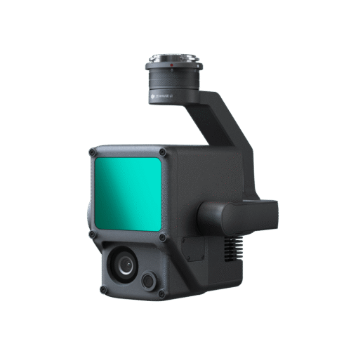
DJI Zenmuse P1
6,650.00 €
-
In the box:
-
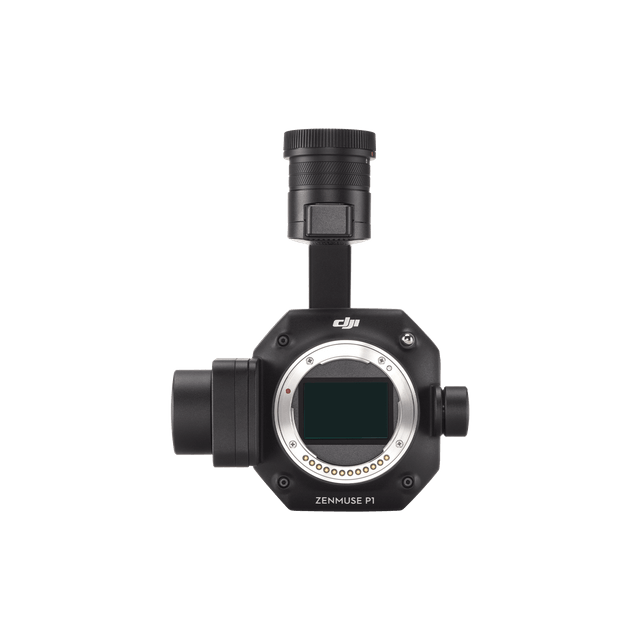 Gimbal and Camera
 -
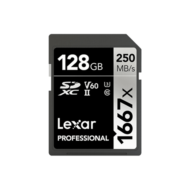 SD Card (128GB)
 -
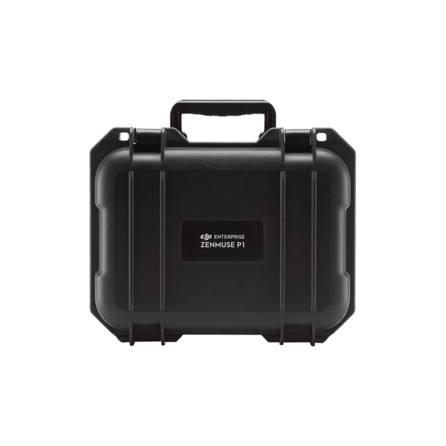 Storage Case
 -
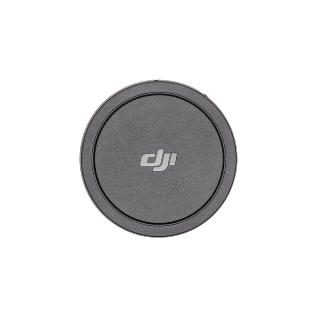 Camera Body Cap
 -
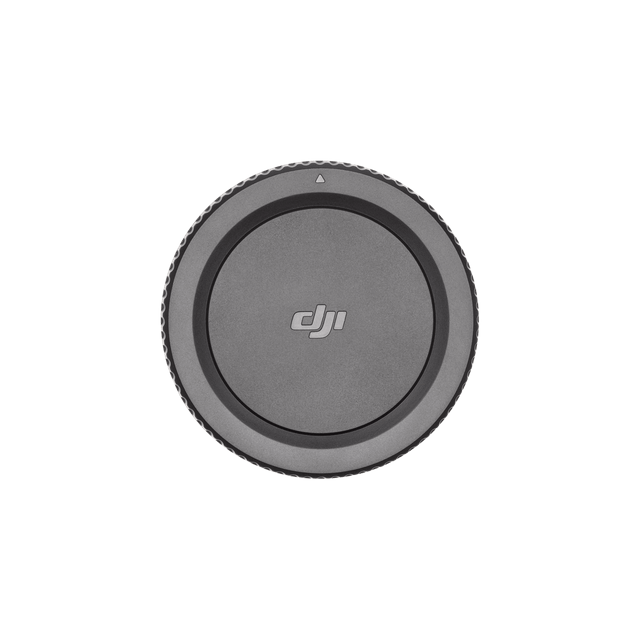 Lens Rear Cap
 -
 Lens Cleaning Cloth
 -
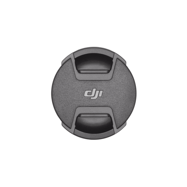 Lens Cap
 -
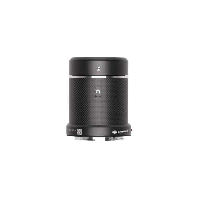 DJI DL 35mm Lens
 -
 DJI Terra Activation Code
Shipping
 Parcel locker: 1–3 business days
 Parcel locker: 1–3 business days
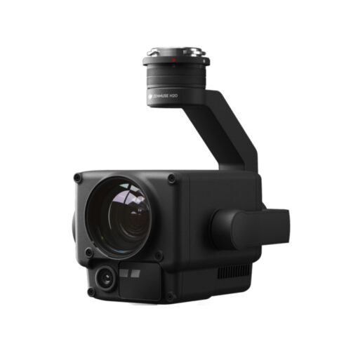
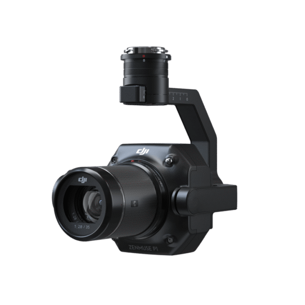
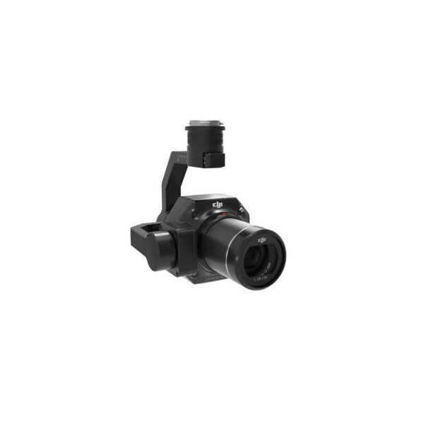
DJI Zenmuse P1 is a state-of-the-art photogrammetry/camera solution designed for professional aerial mapping and geospatial data collection. This integrated camera-transfer combines a 45 MP full-frame sensor with a gimbal capable of taking high-resolution photos in flight at very short intervals (every 0.7 seconds or so), allowing a wide area of up to about 3 km² to be mapped in a single flight. Thanks to its 3-axis stabilised mounting mechanism and Smart Oblique Capture mode, it can take classic orthophotos as well as images taken from different angles to create 2D and 3D models.
DJI Zenmuse P1 camera uses a full-frame 45-megapixel CMOS sensor for low-noise, high-sensitivity imaging that delivers detailed data even in challenging conditions. The camera is supported by a global mechanical shutter speed and TimeSync 2.0 system that synchronises camera, flight control module and RTK positioning at the microsecond level. This ensures accurate geographic positioning and orientation for each photo, which is essential for accurate mapping results.
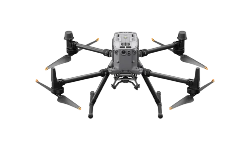
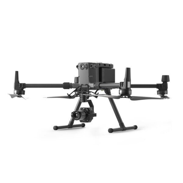
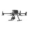
DJI Zenmuse P1 is primarily designed for use with DJI’s professional drone platforms (such as the DJI Matrice 300 RTK), which can be used to efficiently collect data for surveying, planning construction and infrastructure projects, environmental monitoring or 3D modelling. Thanks to its interchangeable 24 mm, 35 mm and 50 mm lenses, it is flexible for all kinds of photogrammetry work, enabling high performance in both narrow and wide working situations.
Related products