
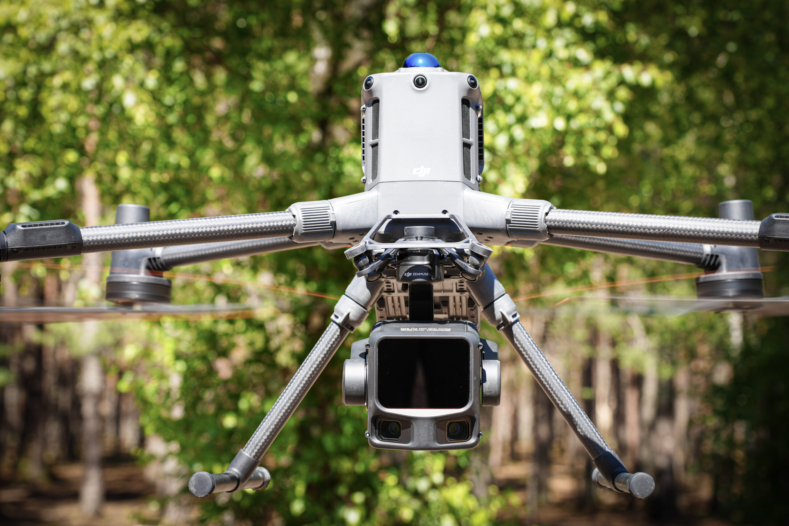
DJI Matrice 400 sets new standards for industrial drone capabilities. Designed for professionals in public safety, energy, surveying and infrastructure, it combines long flight time, multi-sensor flexibility and advanced automation in a durable and intelligent platform.
DJI Matrice 400 technical specifications
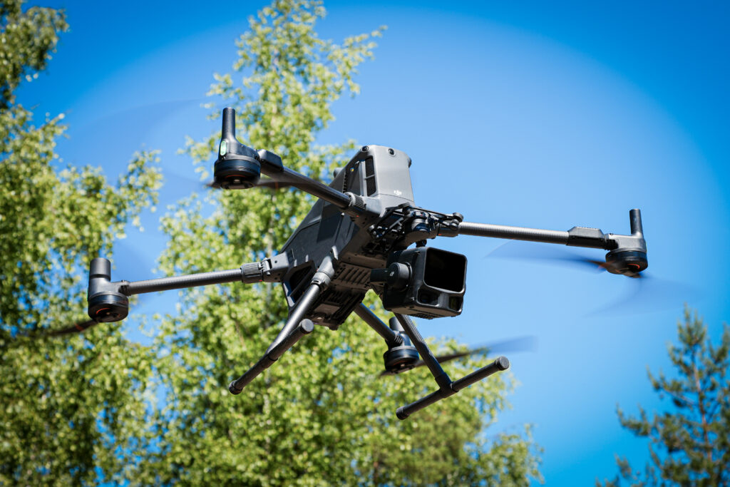
- Maximum flight time: 59 minutes (with H30T payload)
- Hovering time: 53 minutes (with H30T payload)
- Maximum payload capacity: 6 kg
- Operating temperature: -20 °C to 50 °C
- Protection rating: IP55
- Transmission: O4 Enterprise Enhanced Transmission with sub-2G frequency band support, up to 40 km range
- Gimbal configurations: single or dual downward-facing gimbal, plus an additional third gimbal mounted on top of the aircraft
- Intelligent features: Terrain Follow, AR Projection, Smart Detection and takeoff and landing on moving platforms
- Compatible software: DJI FlightHub 2, DJI Terra, DJI Modify and DJI SDKs
Key features
1. Long flight time and reliability in all weather conditions
DJI Matrice 400 offers up to 59 minutes of flight time and up to 53 minutes of hovering time with the H30T payload. This makes it an excellent tool for long-range inspections, mapping large areas and emergency response operations that require rapid deployment.
The drone’s IP55 rating ensures durability in harsh weather conditions, maintaining reliable operation in rain, snow, dust and extreme temperatures ranging from -20 °C to 50 °C.
2. 360-degree environmental awareness for obstacle detection
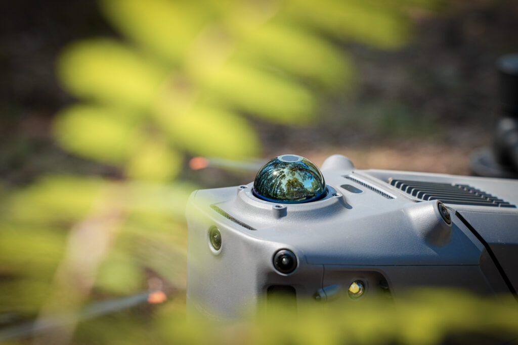
By combining rotating LiDAR, mmWave radar and full-color ultra-wide-angle vision sensors designed for low-light environments, the M400 delivers exceptionally accurate and reliable obstacle detection. The drone can detect thin power lines at flight speeds of up to 25 m/s and continues to operate reliably in low-light or complex environments. This multi-sensor system enables safe navigation around high-voltage power lines, building facades and mountainous terrain – even in fog or complete darkness.
3. Smarter navigation with real-time AR features and intelligent mapping tools
DJI Matrice 400 brings a new level of intelligent flight control to professional drone operations with advanced features such as Real-Time Terrain Follow, Cruise Mode, Smart Track and POI.
The next-generation Real-Time Terrain Follow supports both manually controlled and route-based missions, keeping the drone at a consistent height relative to the ground regardless of flight direction – whether north, south, east or west. This helps maintain a more consistent object size in the frame and improves mapping accuracy.
When used with Zenmuse L2/L3, the M400 enables intelligent power line tracking missions with real-time obstacle detection and terrain adaptation. The system can maneuver around cables running across or diagonally through the flight path to ensure safe inspection of power line corridors.
With Zenmuse P1, users can plan oblique and geometric flight routes for highly efficient data collection. This enables large-scale 3D mapping and building facade reconstruction in dense urban environments as well as on slopes or in areas with complex terrain.
In thermal camera workflows, the M400 supports real-time object detection, including the identification of people, vehicles and watercraft using thermal imaging. This helps accelerate decision-making in search and rescue operations, site security and emergency response.
The wider compatibility of DJI Matrice 400 with onboard computing modules enables even more advanced task automation and mission logic. (Note: these advanced features depend on the payload and onboard computing configuration being used.)
Augmented reality (AR) overlays displayed on the remote controller improve situational awareness by showing streets, landmarks, waypoints, buildings, power lines and the drone’s return route in real time. The AR shadow feature assists with more precise landings, while real-time annotations and area measurements make operational coordination faster and more efficient without additional post-processing.
4. Versatile payload support for different applications
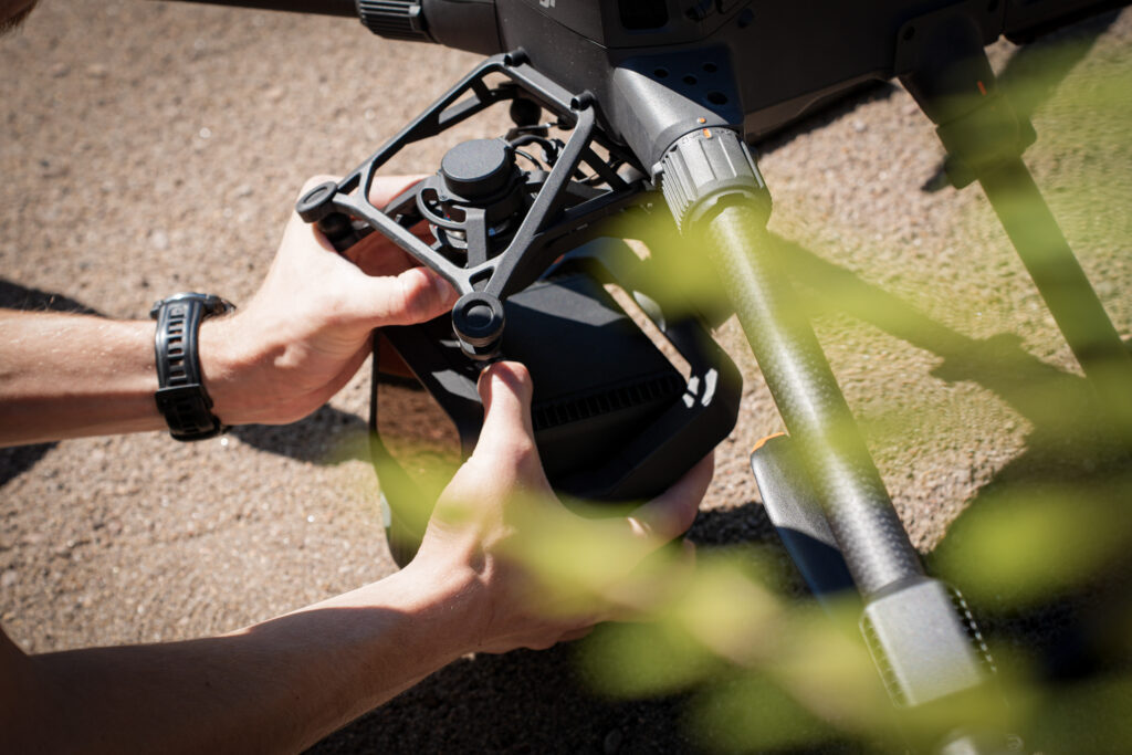
With a payload capacity of up to 6 kg and support for up to seven devices installed simultaneously, DJI Matrice 400 is suitable for a wide range of professional tasks.
Supported payloads include:
- Zenmuse H30/H30T – optical and thermal zoom
- Zenmuse L2 – LiDAR mapping
- Zenmuse L3 – LiDAR mapping
- Zenmuse P1 – full-frame photogrammetry
- Zenmuse S1 and V1 – search and rescue solutions
The platform supports both single and dual downward-facing gimbals and includes a separate mount for an additional third gimbal positioned on top of the aircraft.
The advanced E-Port V2 system also enables integration of third-party payloads through PSDK support.
Zenmuse H30 Series
The H30T payload combines five modules:
- wide-angle camera
- zoom camera
- thermal camera
- laser rangefinder
- NIR auxiliary light
The result is excellent visual and thermal imaging performance for power grid inspections, rescue operations and security applications.
Zenmuse L2
Zenmuse L2 combines a frame-based LiDAR system, DJI’s high-precision IMU and a 4/3 CMOS RGB camera.
It is ideal for infrastructure inspections and topographic mapping, delivering accurate point clouds even in complex or partially obscured terrain.
Zenmuse L3
Zenmuse L3 combines a 1535 nm long-range LiDAR, two 100MP RGB mapping cameras, a high-precision POS system and a three-axis stabilizer – all in a compact device that delivers unprecedented performance for its size.
Zenmuse P1
P1 is designed for high-efficiency photogrammetry and uses a full-frame sensor with interchangeable lenses on a 3-axis stabilized gimbal.
It enables accurate 3D modeling, facade reconstruction and large-area mapping.
Zenmuse S1
This LED-based spotlight improves visibility during night operations and is ideal for search and rescue, inspections and law enforcement applications.
Zenmuse V1
Zenmuse V1 is a powerful loudspeaker designed for public safety and rescue operations. The system supports both live and pre-recorded announcements over long distances.
5. Reliable connectivity and airborne relay capability
The O4 Enterprise Enhanced Video Transmission system provides up to 40 km of operating range and dual-channel 4G hybrid connectivity using sub-2G frequency bands and DJI Cellular Dongle 2.
For long-range missions or operations in challenging terrain, one M400 can function as a relay drone, transmitting video and control signals to another drone operating farther away.
This is especially useful for:
- large-area operations
- remote inspections
- search and rescue missions in challenging terrain
6. Open ecosystem and software integration
Matrice 400 is not just hardware – it is part of an open and expandable ecosystem for professional users and developers.
FlightHub 2
FlightHub 2 enables:
- cloud-based fleet management
- route planning
- multi-drone coordination
- real-time video streams and annotations
DJI Terra
DJI Terra enables high-precision 2D and 3D reconstruction from RGB and LiDAR data.
It is suitable for:
- surveying
- construction site volume calculations
- power line corridor modeling
DJI Modify
DJI Modify is DJI’s dedicated 3D model editing software, allowing users to:
- repair models
- smooth surfaces
- optimize reconstructions
SDK and API support
The M400 supports DJI’s complete development toolkit:
- PSDK – third-party payload integration via E-Port V2
- MSDK 5 – development of custom mobile applications
- Cloud API – direct access to telemetry, images and video via MQTT
These tools make the Matrice 400 not just a drone, but a highly customizable aerial platform for professional workflows.
7. Onboard computing with DJI Manifold 3 (sold separately)
DJI Manifold 3 transforms the M400 into a high-performance edge computing platform with up to 100 TOPS of computing power.
This optional module enables:
- real-time object detection
- AR visualization of LiDAR point clouds
- low-latency decision support
The module supports CUDA and OpenCV and runs on the Ubuntu operating system, allowing developers to build custom workflows and applications.
Note: DJI Manifold 3 is sold separately, and 100 TOPS performance is available only when this module is used.
Application areas
- Public safety – night operations, incident mapping and tactical support
- Energy and utilities – power grid inspections, thermal imaging and LiDAR scanning
- Surveying and AEC – 2D/3D mapping, photogrammetry and digital twin creation
- Maritime and offshore – inspections and landing on moving platforms
- Forestry and conservation – habitat monitoring and terrain mapping
- Transport and infrastructure – bridge and road inspections and structural modeling
DJI Matrice 400 is more than just a drone – it is a modern and expandable aerial platform for professional operations.
With its long flight time, powerful sensor system, onboard computing and broad software ecosystem, the M400 enables faster, more accurate and smarter decision-making from the air.
Whether the goal is infrastructure monitoring, emergency response or digital twin creation, DJI Matrice 400 is a reliable partner even in the most demanding conditions.