ZENMUSE L2
14,280.00 €
● Laost otsas
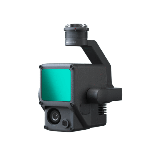
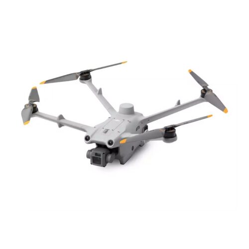
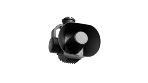
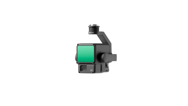
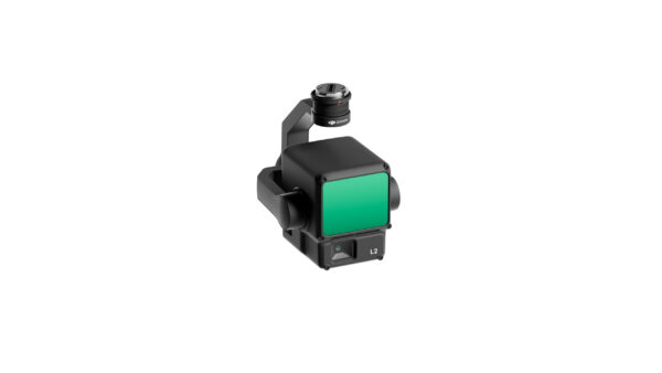
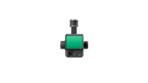
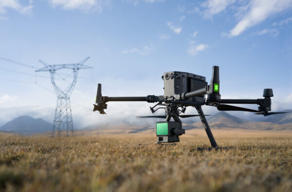
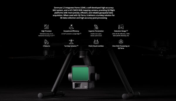
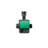
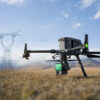
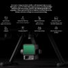
The Zenmus L2’s ability to combine LiDAR, a high-precision IMU system and a 4/3 CMOS RGB mapping camera gives DJI flight platforms a powerful tool for collecting geospatial data. In addition, when integrated with DJI Terra software, the L2 becomes a truly powerful tool for 3D data collection and post-processing. This capability can be indispensable in construction, engineering or landscape planning projects where accurate geospatial data is essential.