
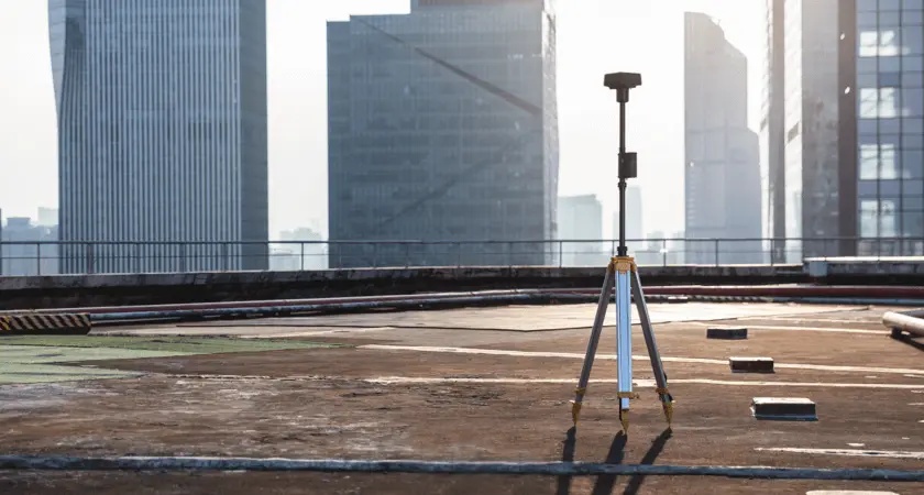
Real-Time Kinematics, or RTK, is a specific technology that increases the accuracy of satellite-based positioning systems such as GPS, GLONASS, Galileo or BeiDou. RTK uses a reference station or an interpolated virtual station to correct measurement results in real time. This methodology allows an accuracy of a few centimetres and is therefore invaluable.
The use of RTK requires the following basic components:
- Base station or virtual base station – placed at a fixed point on the ground, from where the GPS coordinate of the base station is continuously compared with the drone’s position. The base station can also be replaced by a virtual base station – in Estonia, for example, the ESTPOS network of fixed base stations of the Land Administration or Trimble VRS Now. In order to ensure accurate operation, the RTK drone must then be in constant communication with either the base station or the virtual base station.
- RTK receiver – this module can be either already integrated in the drone hardware (DJI Phantom 4 RTK) or as an add-on module (DJI Mavic 2 Enterprise Advanced). The RTK receiver communicates with the drone’s control panel and satellite links.
- Control panel – The drone control panel allows you to operate the drone and display position changes.
- Satellite – Satellite data is still the most important part of any RTK system and drone flight. While a conventional drone simply communicates directly with the satellite, RTK also tests the communication between the drone and the satellite against the base station – this is how maximum accuracy is achieved.

Advantages of RTK over direct satellite data
RTK data is much more accurate than direct satellite data. Satellite data can be distorted by a number of different factors such as weather, tall buildings, mountain ranges, etc. – these are called tropospheric distortions. Add to this ionospheric distortions and the differences in satellite timing systems, and you can see that the accuracy of satellite data can be highly variable. The RTK system helps to fill in the gaps left by these distortions, resulting in a data set as close as possible to reality.
The main advantages of the RTK system are:
- Improved accuracy – This point alone justifies the introduction of RTK. The RTK system allows much better positioning accuracy at the centimetre level.
- Real-time corrections – while other similar correction technologies such as PPK (discussed in more detail below) correct the collected data after the flight has been executed, RTK corrections take place automatically during the flight. This means that the data seen during the flight is already accurate and reliable.
- Fewer terrestrial checkpoints – checkpoints are points on the ground with specific known coordinates, which can then be used to recalibrate GPS data later. Setting and measuring the points can be a time-consuming task. With the RTK system, a point at the base station is actually sufficient.
In reality, the differences between RTK drones and conventional drones are staggering. In a recent study, DJI and DroneDeploy compared two drones that look similar – the DJI Phantom 4 RTK and the DJI Phantom 4 Pro – one with a built-in RTK module and the other communicating directly with the satellite. For comparison, both drones were flown about 30 times and the task was a roof inspection. Of course, ground control points were also used. The results showed that the RTK-equipped drone provided much more accurate measurements and linear accuracy. In particular, the differences in vertical accuracy were striking. If you are interested in specific test results, please contact us!
RTK drone use with PPK
While RTK technology is a big step forward in the use of satellite data (especially when not corrected by ground control points), it also has some limitations. For example, if a drone loses connection with the control panel or the satellite in mid-flight, the ability to transmit real-time data is lost. It is also difficult, if not impossible, to maintain stable data communication in some difficult terrain conditions.
Therefore, the RTK system is not the only tool for geodesists and other drone specialists to achieve accurate data – another tool is Post Processed Kinematic or PPK. Although RTK and PPK are often spoken of together, they are actually quite different.
PPK requires basically the same equipment as RTK, but its workflow is completely different. Unlike RTK, PPK’s workflow does not require real-time corrections – the drone system stores the information collected during the flight, and the post-flight results are merged with the base station data later on a computer in the specific PPK software. While PPK eliminates the need for real-time corrections, the PPK system requires fewer data transmissions and can work accurately in the event of poor data communication or other obstacles.
If you’re looking for a reliable RTK system, you should be looking at DJI drones at the moment – whether you decide to rely entirely on RTK or use PPK as a fallback.

DJI Phantom 4 RTK
The ideal “beginner” surveying drone. Thanks to the RTK module, this drone offers 1cm + 1ppm horizontal positioning accuracy and 1.5cm + 1ppm vertical positioning accuracy. The absolute accuracy of photogrammetric models is within 5cm. The drone also stores satellite observation data, which can be used later in the DJI Cloud PPK Service to output PPK data.


5,560.00€

DJI Phantom 4 RTK + D-RTK 2 mobile base station
7,800.00€
Phantom 4 RTK & Metashape Combo
7,499.00€
DJI Matrice 300 RTK
The Matrice 300 RTK takes the latest from its advanced RTK positioning system, advanced AI capabilities and six-way anti-taxi. Add to that a 55-minute maximum flight time, quick-change batteries and a wide operating temperature range and you have a drone that’s ready for basically any job!


10,550.00€

25,999.00€

Matrice 300 RTK Search and Rescue Kit
28,999.00€
DJI Mavic 2 Enterprise Advanced
This compact and foldable drone has a built-in 48MP conventional sensor and 640x512px thermal sensor. An RTK module can be added to the DJI Mavic 2 Enterprise Advanced, allowing the drone to also collect the most accurate data possible. With a flight time of up to 31 minutes, this is a very powerful easily portable solution.


SEND REQUEST
DJI Mavic 2 Enterprise Advanced
6,050.00€

SEND REQUEST
Mavic 2 Enterprise Advanced All-in-One
6,699.00€